Hawaii Caving Travelogue 2010
From the Desert of Kau and Beyond
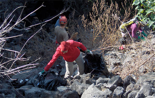
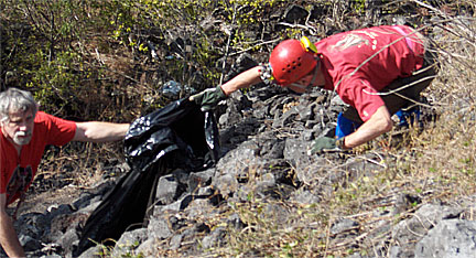
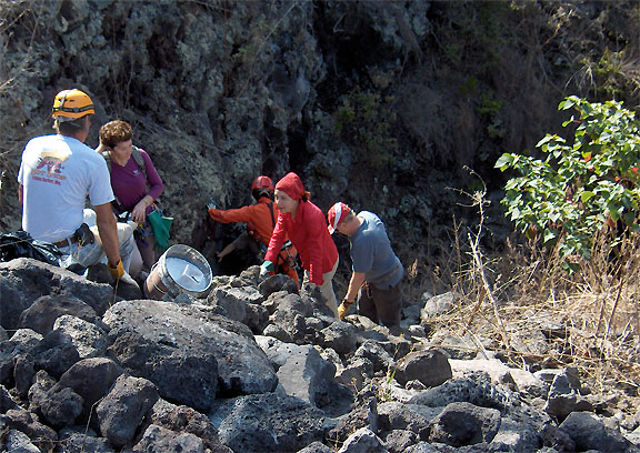
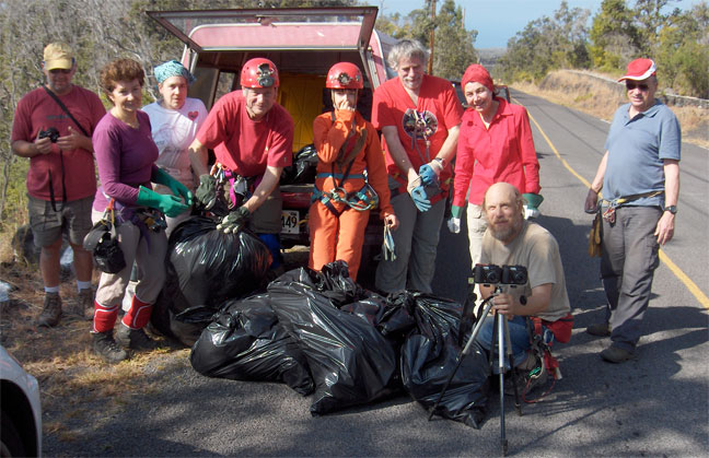
Clean up at The CCH's Ole's Puka is a periodic necessity. This year, we had substantial assistance from a team of French cavers visiting Peter and Ann Bosted. Mid-morning had barely arrived before we were winding the operation down. Although a number of animals in plastic bags forced the call out of the lime bucket, the total amount of rubish was considerably less than in past cleanups. The slope into the puka, created by work along the roadside, is now nearly at the maximum angle of repose, thanks to roadside work. This is unfortunate for the puka, but the cave entry deep within remain undisturbed. Most exciting is the developing opportunity to survey cave leading in both directions associated with the tube complex Ole's Puka breaks into. Neighboring owners are working with the CCH to help understand the systems that underly their lands. The trend towards the mountain is leading towards newly mapped "Lost Brother" cave. Survey's on Monday and Tuesday (Feb. 15 & 16, 2010) greatly extended the documented line through Ole's Puka.
Now, Let's Go Caving...
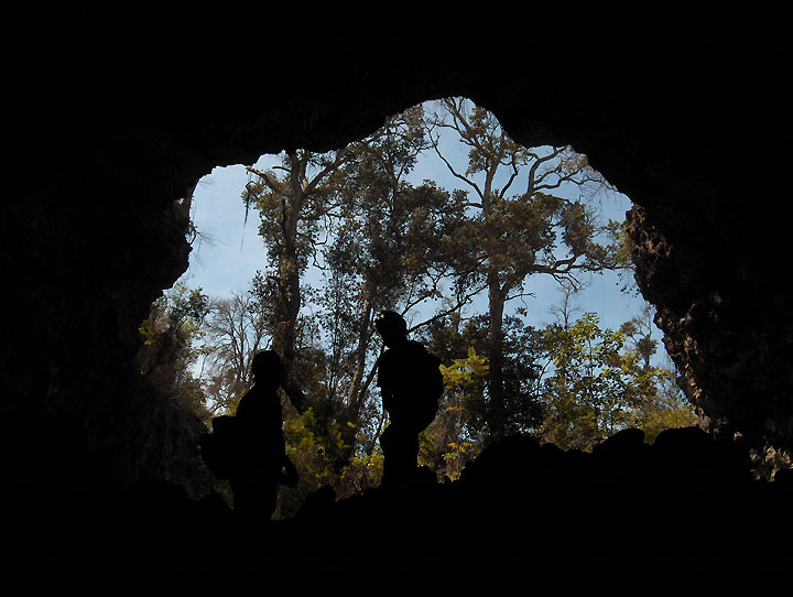
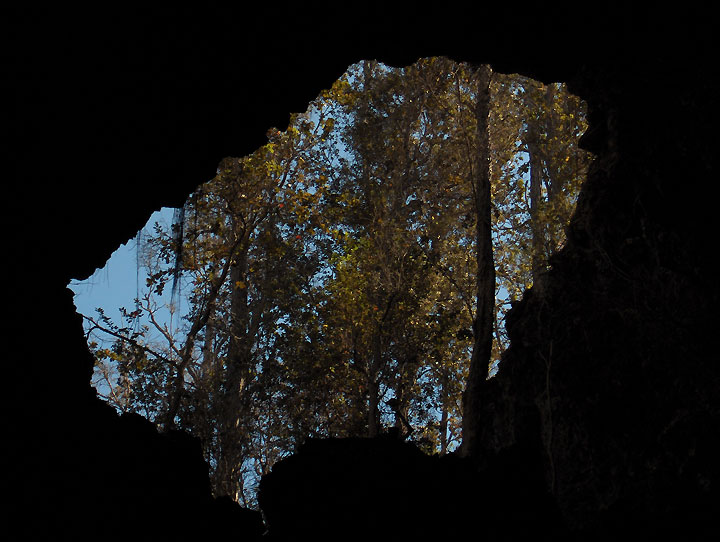
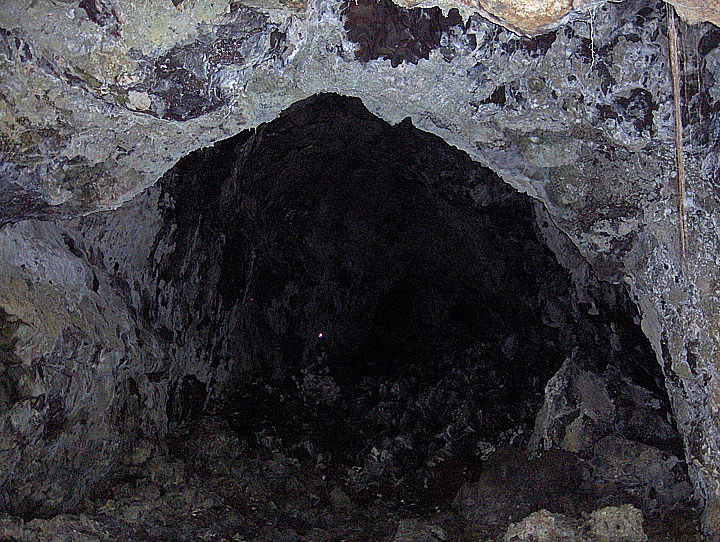
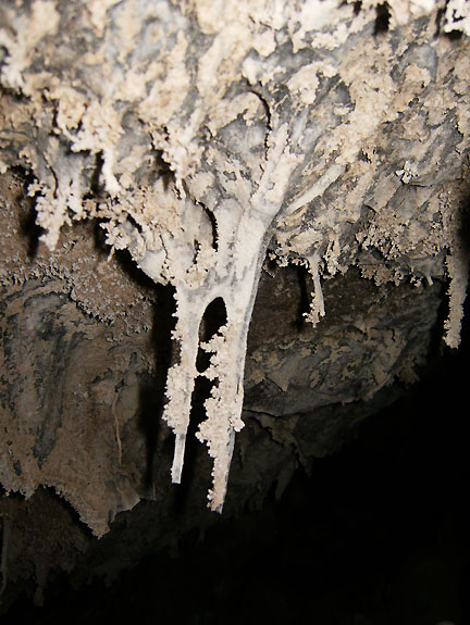
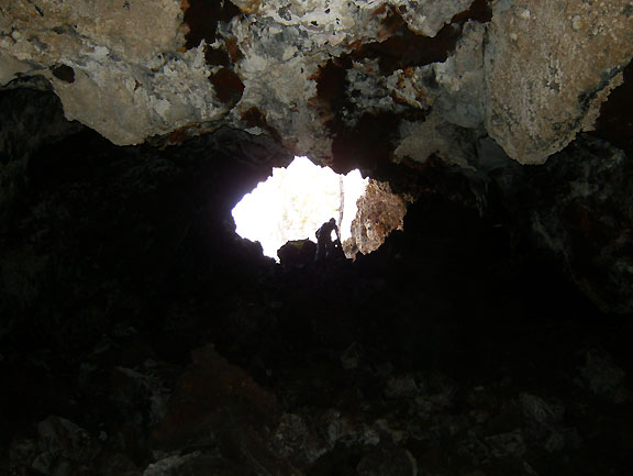
Below Ole's Puka (Makai or towards the sea) the cave enters a series of large passages connecting spacious pukas. The first image is looking back into Ole's Puka. The next is looking forward from the passage beyond into the subsequent puka. Nice formations rounded out the experience on the cleanup day survey, with another shot looking towards a puka beyond.
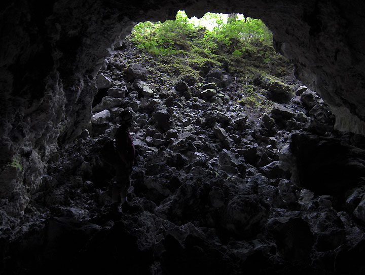
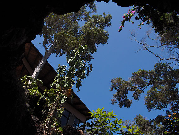
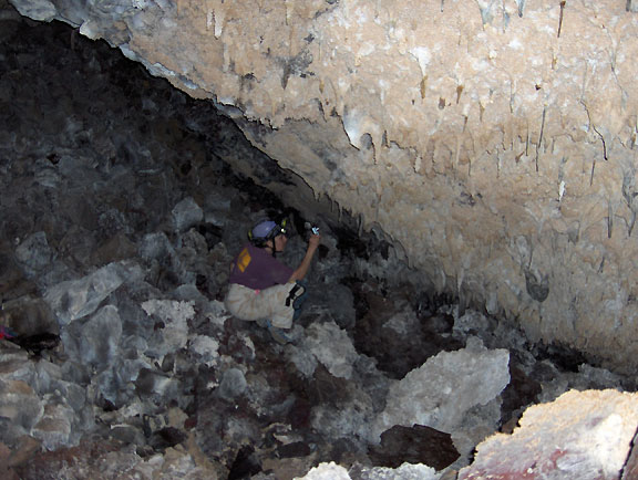
More work from the Ole's Puka intersection led towards the mountain. A new landowner gave access to a very large section of trunk. The pukas here tend to be very deep, with the view from the bottom being dramatic portals to the surface.
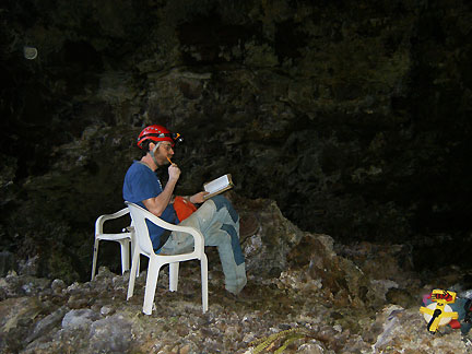
The gem of this stretch is the very large section of cave captured (barely) in this point and shoot image below. Notice Emiy's tiny light on the left side of the passage. The ceiling here measured fifty feet and total length of a single shot here was over 220 feet. Next we see the homeowners construction on the edge of the puka above my comfortable sketching station. Even at 40 feet to the inch this shot took two pages in the notebook, one for the plan and one for the cross section.
This once wasted urbanized puka is being restored with careful reclamation of ferns, use of exposed lava in living space, and introduction of naturalized plantings.
Now let's see, 240 feet by 60 feet by 50 feet equals how many square yards? The most volume in any shot I've taken by an easy margin. The tape in the lower right corner was used to measure distances in the daylight when the disto became impractical. The disto makes fast, easy and cave friendly work of survey.
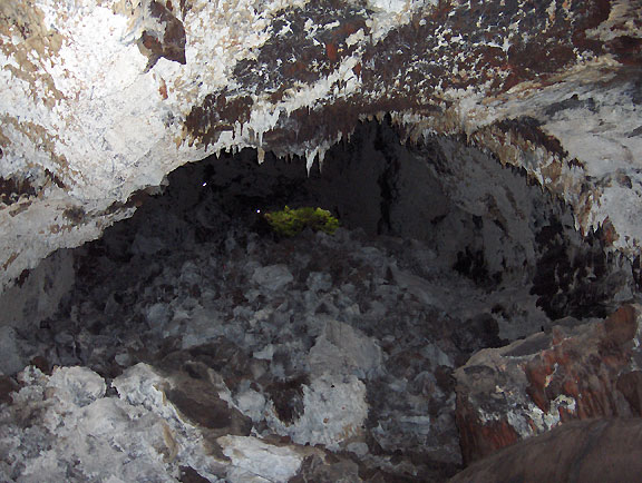
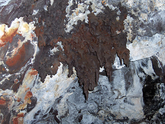
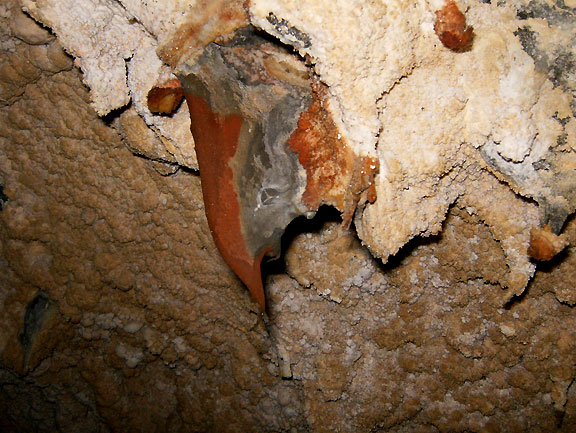
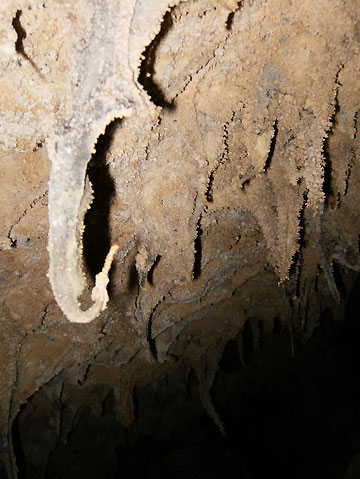
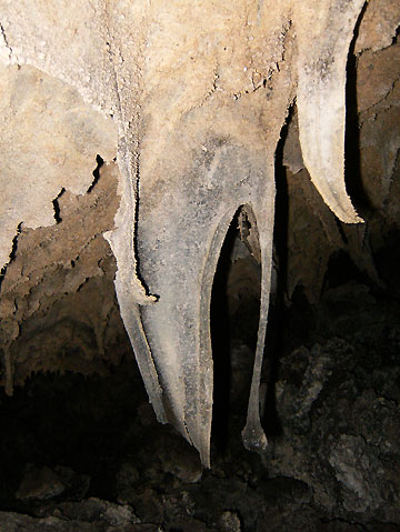
Emily recorded some of the detailed beauty of the cave in images below.
And off we go, not knowing what we will learn next.